-

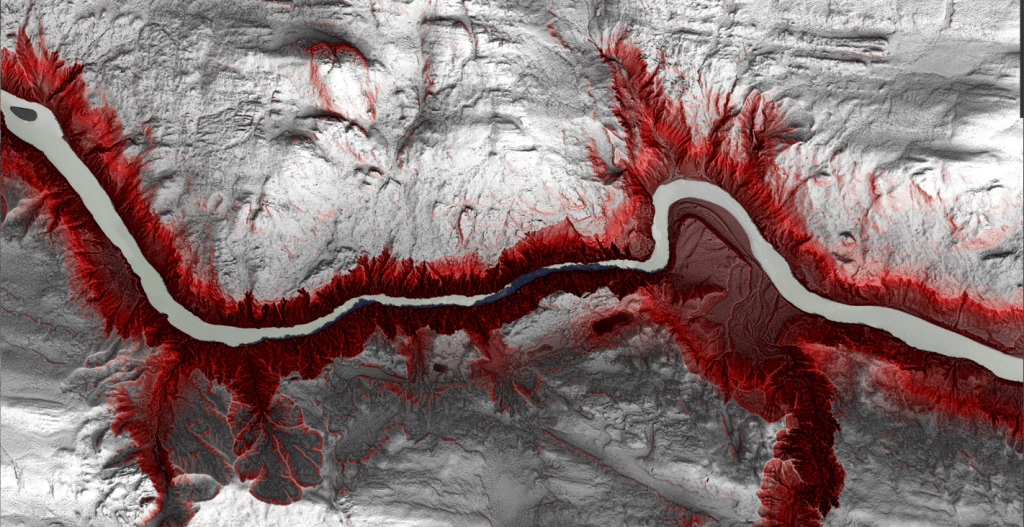
Koyukuk River Meanders
This winter I created my own river meander map to mimic Fisk’s work. My goal with this map project was two-fold: First, to faithfully reproduce a map that from a distance appears to be part of the Fisk series, and second, to create an ArcGIS Pro style for others to do the same with their…
-
The Long Road to Recovery
After losing my Nenana River map in ArcGIS Pro, I explored recovery options and documented the process for others. Although I faced challenges with missing JSON files, I rebuilt the map successfully using existing data and advice from a database manager. Key prevention strategies include making backups and improved documentation.
-
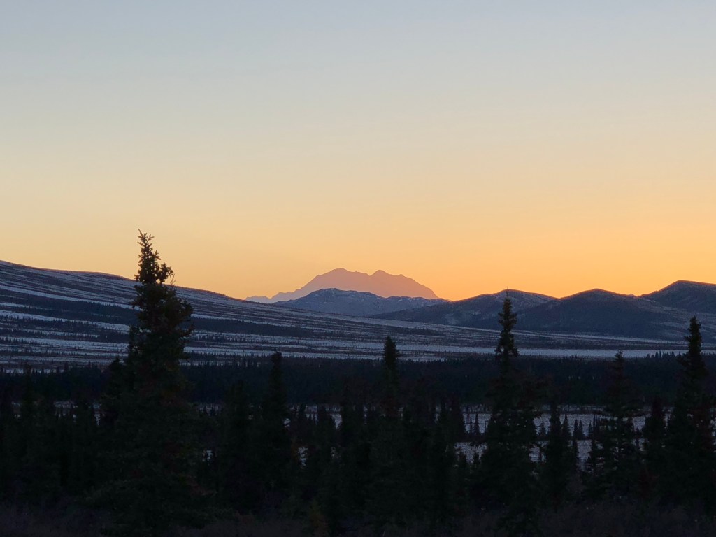
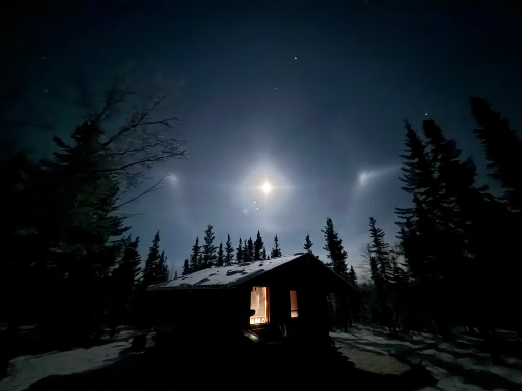
Daylight in Denali
We have reached the winter solstice, a special day in the northern latitudes. In places that receive sun, it is the darkest day of the year. For places so far north as to be in the polar night, it is the mid-point of the darkness. Either way, after December 21, the earth begins to tilt…
-

#30DayMapChallenge 2025
This October, when the prompts came out for the annual #30DayMapChallenge, I happened to have some extra time on my hands to finally attempt creating 30 maps in 30 days. Although it made for a somewhat exhausting month, it was incredibly satisfying to rise to the challenge after years on the sideline. Below are some…
-

United by the Unigrid
A discussion on the history and changes in National Park Service cartography, including the evolution of map-making techniques and the future of geospatial products, including the incorporation of Indigenous place names.
-
The Devils and The Details
Devils (not Devil’s) Canyon along the Susitna River is one of those places that, even without knowing anything about whitewater paddling, if you have been exposed to any cross-section of life in Alaska, then you know it is a big deal.
