
Tag: arcgis-pro
-

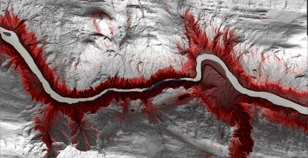
Koyukuk River Meanders
This winter I created my own river meander map to mimic Fisk’s work. My goal with this map project was two-fold: First, to faithfully reproduce a map that from a distance appears to be part of the Fisk series, and second, to create an ArcGIS Pro style for others to do the same with their…
-
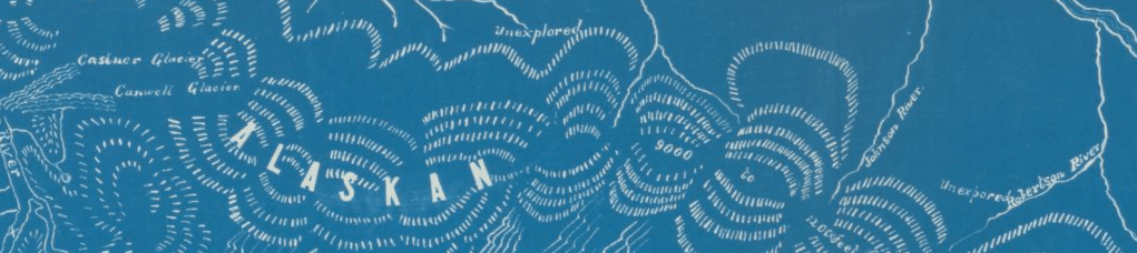
The Devils and The Details
Devils (not Devil’s) Canyon along the Susitna River is one of those places that, even without knowing anything about whitewater paddling, if you have been exposed to any cross-section of life in Alaska, then you know it is a big deal.
-
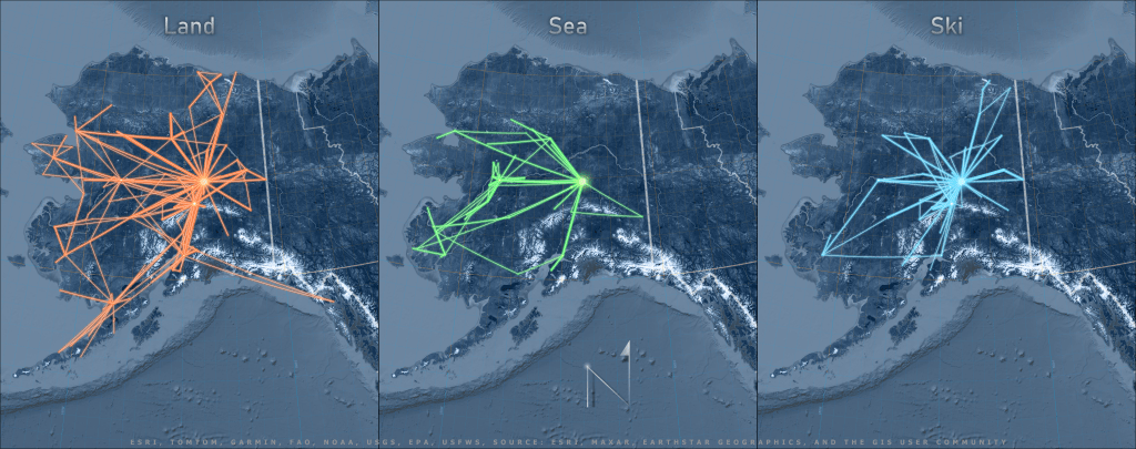
One if by land, two if by sea, three if by ski
This blog post talks about the cartographic principles and GIS workflow behind creating this map of Alaska air routes with real-life flight data using two GIS tools: geodesic lines and projected coordinate systems.
-
Nenana River Map
Earlier this summer, as a group of us planned to float the Nenana River after work one day, we discussed where to put in our boats. Sam suggested the Grassy Knoll and John, chuckling, replied, “Where do you mean when you say the ‘Grassy Knoll’?”….
